Four sectors.
One point of contact.
Solar thermography comes first for us — alongside roof and storm damage inspection, agriculture, and marketing & events. Choose a service to see how it works and what you receive.
A quick check by photo or on site — then a fixed price, free and with no obligation.
DIPUL/DFS airspace planning and, where required, the property owners' consent.
Flight and capture in a single visit — scheduled around your operations.
A report, photos, or data — matched to the job.
Inspection
Solar thermography per IEC TS 62446-3 — plus roof and storm damage checks from the air.
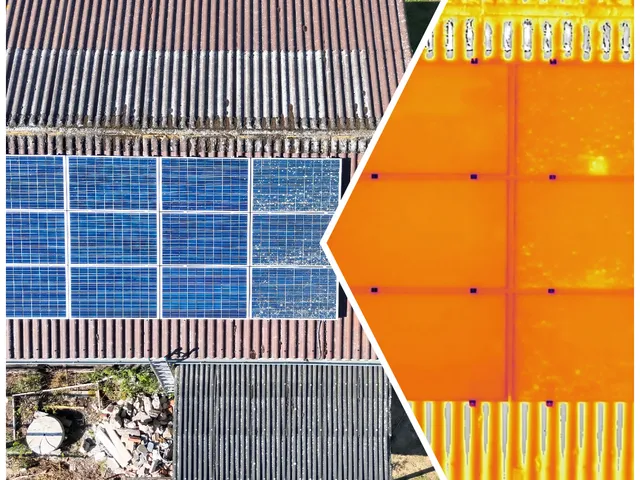
Solar Thermal Inspection
Hotspot and micro-crack detection across PV installations per IEC 62446-3. 640×512 thermal imaging. 10× faster than manual walkthroughs with a certified PDF report.
Roof Inspection by Drone
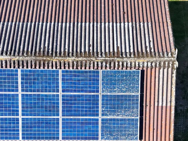
The whole roof in minutes, from every angle — no ladder, no scaffolding, nobody climbing up. High-resolution photos and zoom reveal slipped tiles, moss, and cracks around chimneys and flashings before the rain gets in.
View serviceStorm Damage Check by Drone
After a storm or hail, find out quickly what happened to the roof — without a dangerous climb. We document the damage with photos, zoom, and timestamps, as a basis for your insurer and your roofer.
View serviceCleaning
Roof and solar cleaning by drone — in preparation. Join the list now.
Agriculture
Fawn rescue, field measurement, and wild boar damage assessment for farmers and hunters.
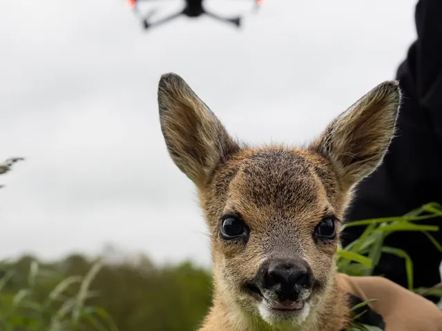
Wildlife Rescue (Kitzrettung)
Thermal detection of hidden fawns before mowing season (May–July). The 640×512 thermal sensor distinguishes warm animal signatures from ambient grass — saving lives at scale.
View service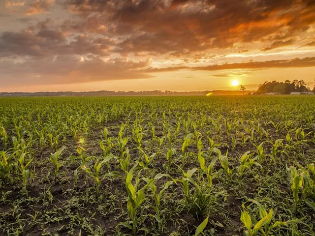
Aerial Field Measurement
Fields, meadows, and plots measured from the air — with RTK-accurate positioning and a fresh orthophoto. You get the area in hectares and a map for leases, planning, or applications.
View serviceWild Boar Damage Assessment by Drone
Wild boar have torn up the maize or the grassland? We capture the damaged area from the air, measure it in m², and document it with photos — a traceable basis for farmers, hunting tenants, and insurers.
View serviceMarketing & Events
Property photos, company films, and event coverage — your property, your business, your moment from above.
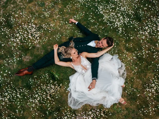
Aerial Event Coverage
Weddings, sports, festivals, and corporate events — high-resolution aerial photography and video that capture the moment from above. Tell us about your event and we'll tell you what's possible.
View service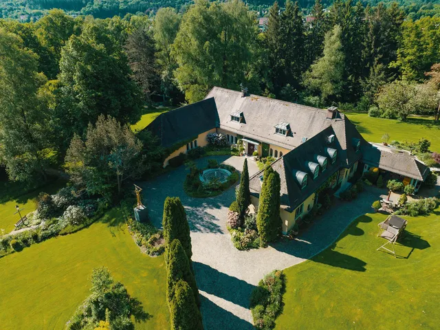
Property: Listing Photos, Video & 360° Tour
Everything a listing needs to sell: aerial and façade stills, a property video, and optionally a 3D model and hosted 360° tour. Fixed packages from €149 — ready for portals, the listing PDF, and social media.
View serviceBusiness Film for Workshops, Hospitality & Farms
A film that shows your premises from above and your people at work inside — cut for your website, your Google profile, and social media. Filmed around your opening hours. Fixed packages from €149, website included on request.
View serviceDon't see your project listed? We take on custom drone missions of all kinds — get in touch and we'll tell you if it's a fit.
Get a Quote
Location, system size, or a line on what you need — we reply within 24 hours with a fixed price.
We prefer to communicate by email or WhatsApp. If you'd rather we call you, just note “call preferred” in your message and we'll get back to you as soon as possible.
Thank you for reaching out!
Your request has reached us. We'll get back to you within 24 hours with a fixed price.