
Built for precision.
Deployed for intelligence.
The M4T is the industry benchmark for precision thermal and optical inspection. RTK-grade positioning, multi-spectral capability, and a 1,800m laser rangefinder make it the right tool for agricultural, solar, and industrial missions.
DJI Matrice 4T
The M4T is the industry benchmark for precision thermal and optical inspection. RTK-grade positioning, multi-spectral capability, and a 1,800m laser rangefinder make it the right tool for agricultural, solar, and industrial missions.
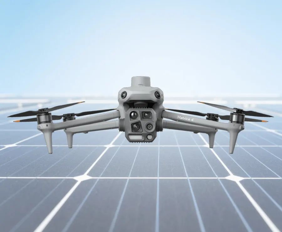
One platform. Four sensor systems.
Each sensor is purpose-matched to specific mission types — deployed simultaneously for maximum data density per flight.
Thermal infrared (640×512)
Uncooled VOx detector at 13 mm focal length. Detects temperature differentials down to 0.1 °C. Identifies solar hotspots, hidden fawns, electrical anomalies, and moisture in walls — invisible to the naked eye.
Visual RGB camera (48 MP)
48-megapixel wide-angle sensor with mechanical shutter. Ground sample distance under 3 cm/px at 100 m altitude. Used for photogrammetric 3D modelling and high-resolution site documentation.
Telephoto zoom (4× / 112× hybrid)
4× optical zoom with up to 112× hybrid zoom. Reads component-level detail — slipped tiles, cracked flashings, panel edge delamination — from a safe distance, without scaffolding or anyone on the roof.
Laser rangefinder + RTK GNSS
1,800 m laser rangefinder combined with RTK GNSS positioning achieving ±2 cm horizontal accuracy. Every anomaly, every coordinate, every data point is stamped with absolute geolocation — not relative pixel position.
Aerial Intelligence,
End to End.
We combine precision drone operations with proprietary software and AI to transform raw flight data into structured, actionable intelligence.
Models trained on your specific environment, crop type, or panel layout — not generic off-the-shelf software. Continuous improvement as new data is captured.
Leaflet.js maps with centimetre-level RTK coordinates. Click any anomaly to see its thermal image, temperature delta, and severity rating.
PDF reports referencing IEC 62446-3 for solar, complete with exact GPS anomaly coordinates and classification. Ready for insurers and operations teams.
Every client receives a private, structured data portal. Your operations team gets clear, organised insight — not gigabytes of unprocessed files.
Get a Quote
Location, system size, or a line on what you need — we reply within 24 hours with a fixed price.
We prefer to communicate by email or WhatsApp. If you'd rather we call you, just note “call preferred” in your message and we'll get back to you as soon as possible.
Thank you for reaching out!
Your request has reached us. We'll get back to you within 24 hours with a fixed price.