





Intelligence Above.
Drones, AI & software that transform aerial data into real decisions — for energy, agriculture and rural infrastructure.
Data-Driven Solutions
Specialised missions. Each delivering actionable intelligence — not just images.
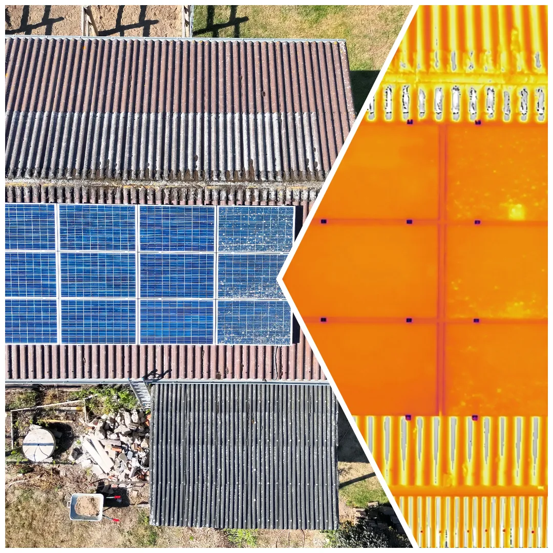
Solar and power-line inspections — thermal and zoom imaging that catches faults before they become failures.
Aerial mapping and progress documentation that tracks a project from groundbreaking to handover.
Thermal drone support for wildlife rescue and on-call emergency search operations for local authorities.
Weddings, sports, festivals, and corporate events — aerial photography and video that capture the moment from above.
Two fixed offers: photo, video, and a 360° tour for property listings — and the company film for workshops, hospitality, and farms. Fixed packages from €149.
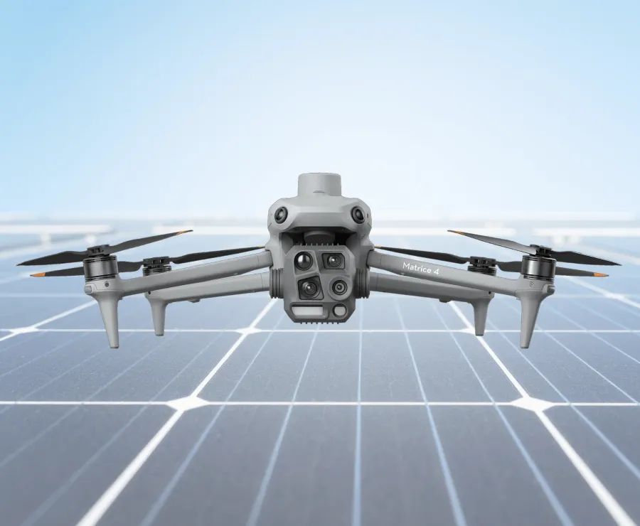
DJI Matrice 4T
The M4T is the industry benchmark for precision thermal and optical inspection. RTK-grade positioning, multi-spectral capability, and a 1,800m laser rangefinder make it the right tool for agricultural, solar, and industrial missions.
Aerial Intelligence,
End to End.
We combine precision drone operations with proprietary software and AI to transform raw flight data into structured, actionable intelligence.
Models trained on your specific environment, crop type, or panel layout — not generic off-the-shelf software. Continuous improvement as new data is captured.
Leaflet.js maps with centimetre-level RTK coordinates. Click any anomaly to see its thermal image, temperature delta, and severity rating.
PDF reports referencing IEC 62446-3 for solar, complete with exact GPS anomaly coordinates and classification. Ready for insurers and operations teams.
Every client receives a private, structured data portal. Your operations team gets clear, organised insight — not gigabytes of unprocessed files.
From Mission Plan to Insight
Mission Planning
Official DIPUL/DFS airspace clearance. Flight path optimised for your site geometry. Safety assessment and ideal weather window selection.
Autonomous Flight
The M4T executes the pre-planned route with centimetre-level RTK positioning. Simultaneous thermal and RGB capture. No area missed, no detail lost.
AI Processing
Raw imagery runs through custom AI pipelines. Anomalies are classified, geotagged, and severity-rated automatically.
Actionable Insights
You receive an interactive Leaflet.js map, a standards-compliant PDF report, and a secure client portal. All findings at centimetre GPS precision.
Get started
Aerial data. Real decisions.
See how DrohnXit digitalises your energy and rural operations.
Request a Mission Brief
Describe your site and objectives. We'll respond within 24 hours with a tailored proposal.
Thank you for reaching out!
Your mission brief has been received. We'll get back to you within 24 hours with a tailored proposal.